
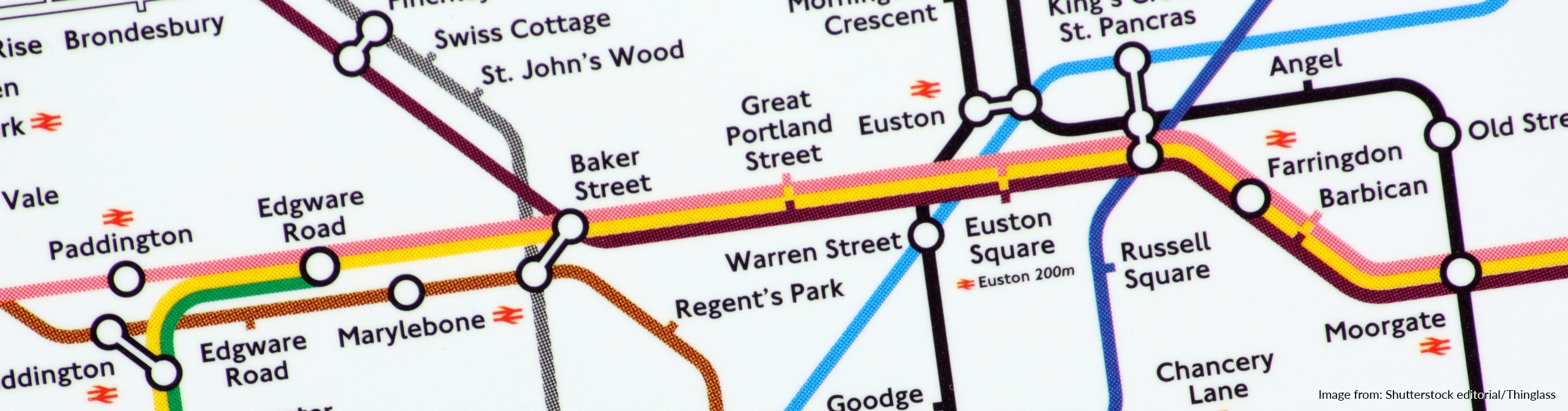
Interconnected World
This project teaches children about compass points and four and six-figure grid references. They learn about the tropics and the countries, climates and culture of North and South America. Children identify physical features in the United Kingdom and learn about the National Rail and canal networks. They conduct an enquiry to prove a hypothesis, gathering data from maps and surveys before drawing conclusions.
Project scope
Interconnected World provides a structured approach to Geography, outlining key subjects and topics including:
Geography
Topics covered
- Climate
- Compass points
- Gathering and using data
- Geographical enquiry
- Map skills
- North and South America
- Physical features
- UK transport
What's included
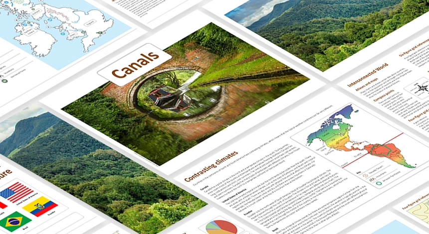
Interconnected World is a comprehensive Geography project that boasts an array of essentials including:
- Knowledge Organiser
How to access this project
Like the look of this project? It’s just one example of how Cornerstones brings learning to life.
Full curriculum
Geography single subject curriculum
Built around a research-informed pedagogy
All our curriculum projects are built around our renowned four-stage pedagogy: Engage, Develop, Innovate and Express. It provides a dynamic, child-centred learning journey that sparks curiosity and builds deep understanding. It begins by engaging children with memorable experiences that ignite interest and ends with them expressing their understanding by sharing outcomes with real audiences.
Learn more about our approach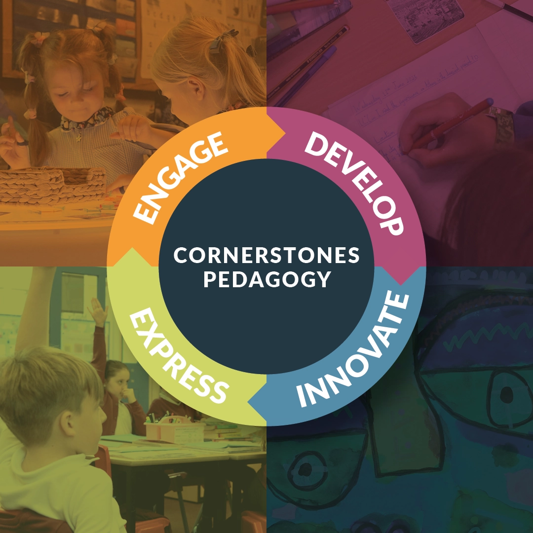
Explore more projects like this one
Browse the full library of Cornerstones Curriculum projects and filter by year group or subject.