Project overview
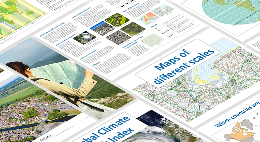
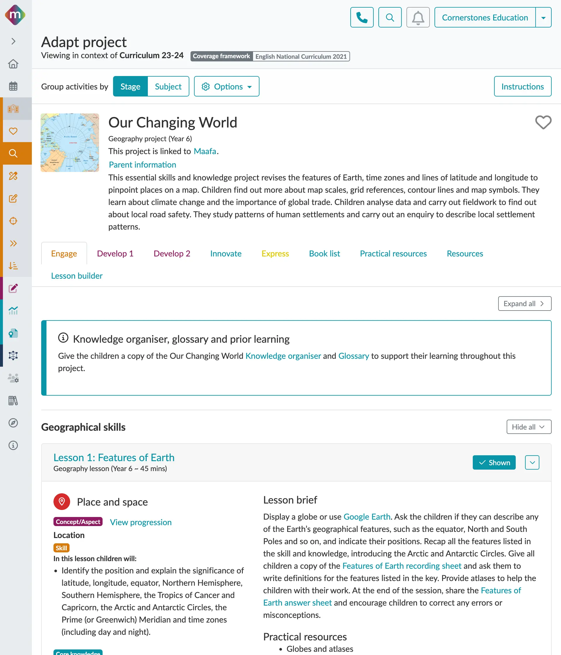
This project revises the features of Earth, time zones and lines of latitude and longitude to pinpoint places on a map. Children find out more about map scales, grid references, contour lines and map symbols. They learn about climate change and the importance of global trade. Children analyse data and carry out fieldwork to find out about local road safety. They study patterns of human settlements and carry out an enquiry to describe local settlement patterns.
It is built upon our four-stage primary focused pedagogy – Engage, Develop, Innovate, Express – to get your children curious about the project ahead, develop and then use new skills and knowledge, before finally allowing them to express their thoughts, ideas and reflections on what they have learnt.
*This project is part of the Cornerstones Geography Curriculum and is not sold separately.