Project overview
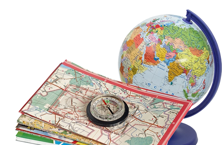
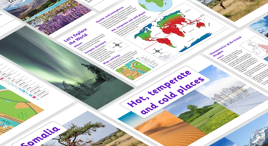
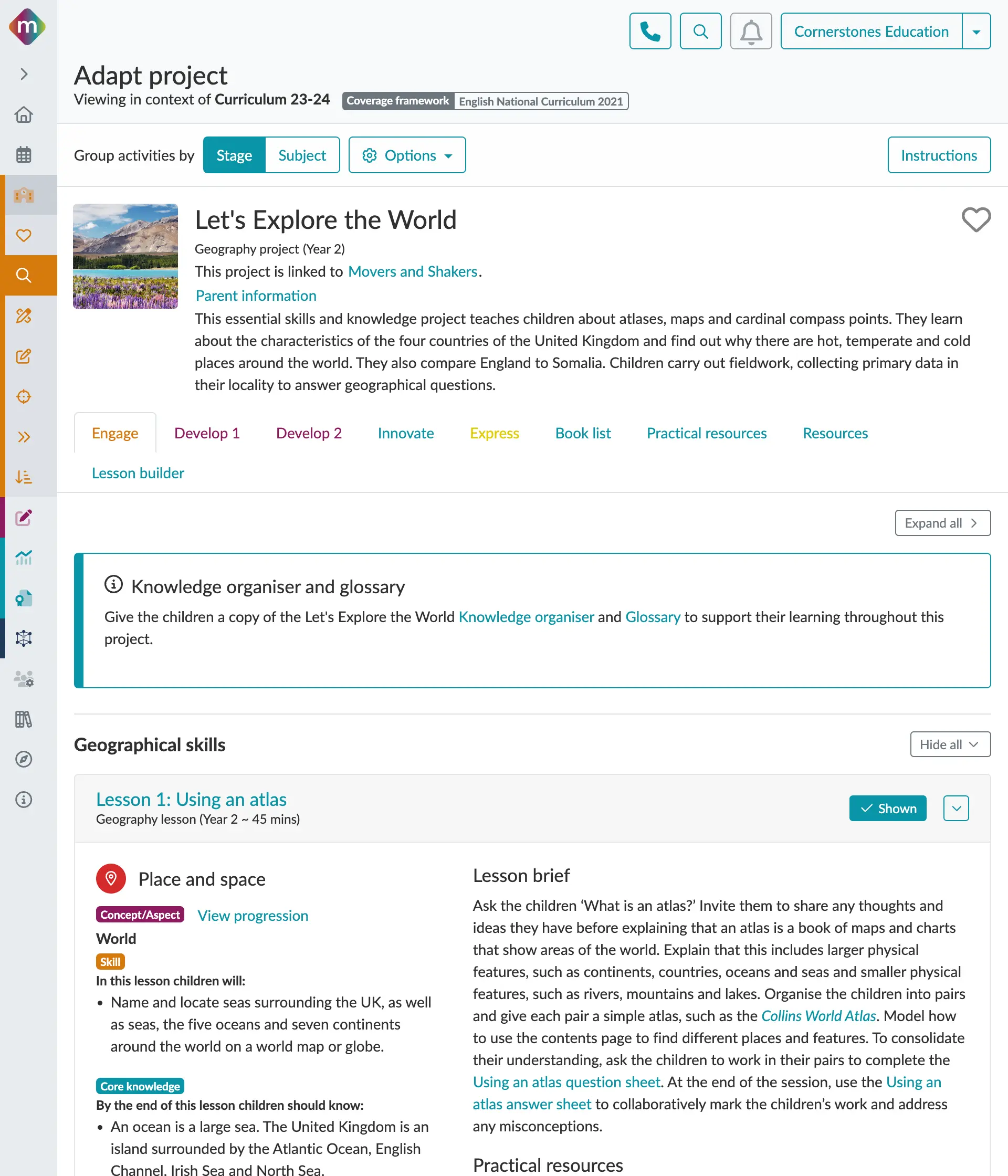
This project teaches children about atlases, maps and cardinal compass points. They learn about the characteristics of the four countries of the United Kingdom and find out why there are hot, temperate and cold places around the world. They also compare England to Somalia. Children carry out fieldwork, collecting primary data in their locality to answer geographical questions.
It is built upon our four-stage primary focused pedagogy – Engage, Develop, Innovate, Express – to get your children curious about the project ahead, develop and then use new skills and knowledge, before finally allowing them to express their thoughts, ideas and reflections on what they have learnt.
*This project is part of the Cornerstones Geography Curriculum and is not sold separately.